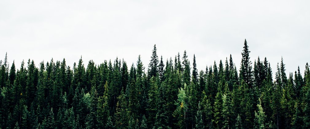
Bumble Wood Forest Plan
About
Bumble Wood is an area of 264.5 hectares of developing wooded heath and coniferous woodland with some broadleaf coverage situated in North Yorkshire. The woodland is situated approximately 6 kilometres south-west of Egton Bridge within the Central Moors of the North York Moors National Park. The forest is freehold land secured by the Forestry Commission between 1957 and 1979 and was previously managed as rough pasture and moorland. A proportion of the land was already established with broadleaved woodland along Wheeldale Gill.
The forest is situated in the ‘Central and Eastern Moors’ landscape character areaof the North York Moors National Park.
At the start of the previous plan, in 2005, the forest was largely coniferous although the most significant change during the last plan period has been the reduction of 1st rotation evergreen conifer to less than 30% of the forest area and the significant increase in developing wooded and heathland.
Objectives
The long term vision for Bumble Wood is to continue the process of heathland and wooded heath restoration and maintain the natural and cultural heritage sites.
Environmental
- Maintain and improve the, cultural and heritage value of these woods, to be measured by Non-Government Organisations and FC systems accordingly.
- Improve the resilience and adaptation of the natural environment and realise the potential of these woods for nature and wildlife, to be measured by Natural England, NYMNP Authority and FC systems accordingly.
Social
- Encourage communities to become involved across these woods, its management and direction through consultation in planning and participation in volunteering.
- Maintain and improve the forests contribution to the landscape character within the North York Moors National Park ‘Central and Eastern Moors character area’. To be measured by fixed-point photography.
Economic
- Maintain the land within our stewardship under UKWAS certification, to be measured by independent surveillance audits.
What we’ll do
The Bumble Forest Plan outlines management proposals including felling and restocking for 10 years from 2017 to 2026.
The planned areas for areas of conifer, broadleaf and permanent open space creation during the ten years to 2026 are summarised in the table below.
Habitat type - (based on principal species established) | Area – hectares
| % age of total area
|
Conifer | 62.23 | 23 |
Broadleaf | 51.69 | 20 |
Wooded heath/Open | 150.54 | 57 |
In addition to these defined operations, selective thinning and will be carried out on a small scale over the plan period.
We will protect and, where appropriate, enhance all known sites of archaeological and ecological importance and all sites, regardless of their designation, will receive the same level of care during the planning and execution of forest operations. The operation planning system will ensure they are recognised and the proper measures for their protection are in place before work begins.
The development of future areas of broadleaf woodland will look to create a robust network of habitats linking conifer and broadleaf woodland with internal and external heath communities and riparian corridors. Natural regeneration will be the preferred method of establishment with the expectation that birch and willow species predominate.
This table illustrates how the plan will progress:
Felling | Area - hectares | % of total area | Projected volume (m3) |
2017 – 2021 Clearfell | 16.91 | 6 | 3420 |
2022 – 2025 Clearfell | 20.64 | 8 | 4920 |
Natural Reserve | 19.68 | 7 | nil |

