North Devon Forest Plan
About
The North Devon Forest Plan area is made up of numerous scattered woods mainly on steep sided valleys alongside the upper reaches of tributaries of the Rivers Mole and Yeo with the fertile valley bottoms being used for agricultural grazing.
The North Devon woodlands are situated a few miles to the north of South Molton in the parishes of Brayford, North Molton, Twitchen and Molland on the south western flanks of Exmoor. The local authority is North Devon District Council.
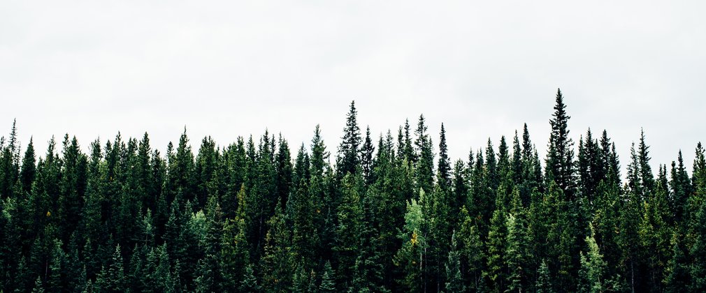
In earlier times the woods would have been managed as traditional oak coppice with standards to produce charcoal and building materials for local use. During the First and Second World War the woods were ravaged for their timber. Acquired by the Forestry Commission in the early 1960's and mostly cleared of the remaining broadleaves they were planted with conifers (Douglas fir, Sitka spruce, Japanese larch, western hemlock and some other minor conifers).
Much of the public forest here is ancient woodland having been planted with conifer to address the national timber shortage of the early Twentieth Century. The area is now known to produce quality fir and spruce log which makes up the majority of the tree cover here supplemented primarily with beech and larch. Areas of remnant ancient semi-natural woodland do remain and are made up of oak and birch with ash and beech. Most of the areas are actively managed to provide timber for local and national businesses, and to improve the quality of the remaining tree crop.
The Plan area is a rich for ecology with habitat such as Priority Lowland Mixed Deciduous Woodland used by for dormice, bats and raptor as well as other important flora and fauna species.
The much of the Plan area is leased and as such access is constrained to public rights of way, areas of freehold are Open Access, confirmed by the Countryside Rights of Way Act. The woodlands are quietly enjoyed by local walkers and cyclists, as well as popular shoots, both retained and let.
Objectives
The core aim of the Plan is to begin to progress the 50 Year Vision by producing woodlands which continue to sustainably produce timber whilst providing a forest rich in wildlife, attractive to people and increasingly resilient to climate, pests and diseases.
The social, economic and environmental objectives of management are:
- The continued production of sustainable and marketable woodland products.
- Protect and enhance woodland and open habitats and their associated species.
- To protect, enhance and restore areas of ancient woodland in line with the ‘Keepers of Time’ policy.
- The provision and maintenance of recreation facilities.
- Deliver well-designed forests that both protect and enhance the internal and external landscape in keeping with the local landscape character and Exmoor National Park.
- To conserve, maintain and enhance cultural and heritage assets.
What We’ll Do
The current plan outlines management proposals including felling and restocking over several decades, with felling licence approval for operations up until 2029.
The Plan makes provision to develop the complex and dynamic crop compositions of quality fir and spruce shelterwood forest. Areas identified as PAWS will be managed as mixed woodland to maximise their productive potential, with the aim of a gradual return to native woodland.
The Plan makes provision to ensure proposals are in keeping with the enclosed farmed and wooded landscape. Implementation and maintenance of an environmental corridor system will continue to increase diversity of habitat and internal landscaping.
The planned areas of clearfelling, restocking and permanent open space creation during the ten years to 2029 are summarised below.
Clearfelling of 29ha of conifers. Restocking/regeneration with 15.7ha conifers and 9.5ha of native broadleaves and the remaining as open space.
In addition to these defined operations, ongoing thinning and selective felling of both conifers and broadleaves will be carried out in the plan area at five to ten year intervals.
The species composition will also change from 75% conifer, 25% broadleaf and 1% open space in 2019 to 64% conifer, 33% broadleaf and 2% open space in 2029.

