
Age suitability: KS3 (age 11-14)
Type of activity: Lesson plan
Curriculum links:
- develop greater competence in using geographical knowledge, approaches and concepts (such as models and theories) and geographical skills in analysing and interpreting different data sources.
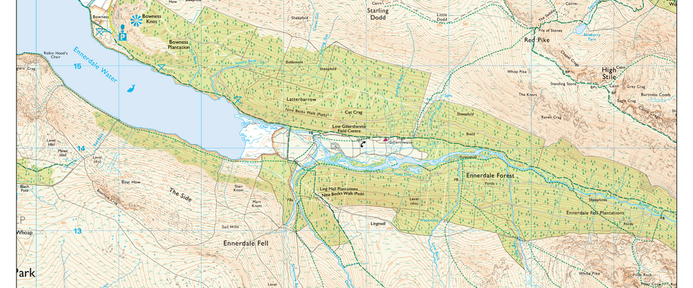
interpret Ordnance Survey maps in the classroom and the field, including using grid references and scale, topographical and other thematic mapping, and aerial and satellite photographs.
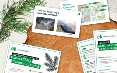
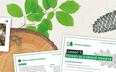
Resource contents:
- teachers pack.
- presentation.
- map.
These resources were produced with Geography South West.
Download the resources via the buttons below.
Want more outdoor learning inspiration?
Sign up to our learning mailing list for ideas, lesson plans and more.